Identifying US States with GeoStates
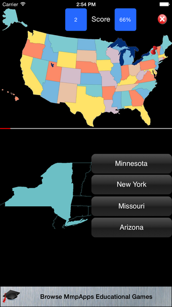
GeoStates is an educational application available on iPhone that challenges users to identify US states by displaying state outlines and marking their locations on a map with pins. Users are presented with a list of four state names and must choose the correct one corresponding to the displayed outline. This interactive learning tool is designed to enhance users' knowledge of US geography in a fun and engaging way.
GeoStates, developed by MmpApps Corp., falls under the Education & Reference category on the App Store. With its simple yet effective concept, this free application offers users an interactive platform to test and improve their recognition of US states.